The preliminary Homestead Planned Residential Development (PRD) agreement between the City of Lynden and Jim Wynstra stated that parks and open spaces would be 8 acres. “Between 1992 and 2010, Homestead expanded from 33 lots to over 600 units. As new plats were added to the Homestead PRD, they were subjected to the CC&Rs. Increased parcels resulted in correspondingly less Common Open Space (COS).” (Source: Lawyers memorandum to homeowners)
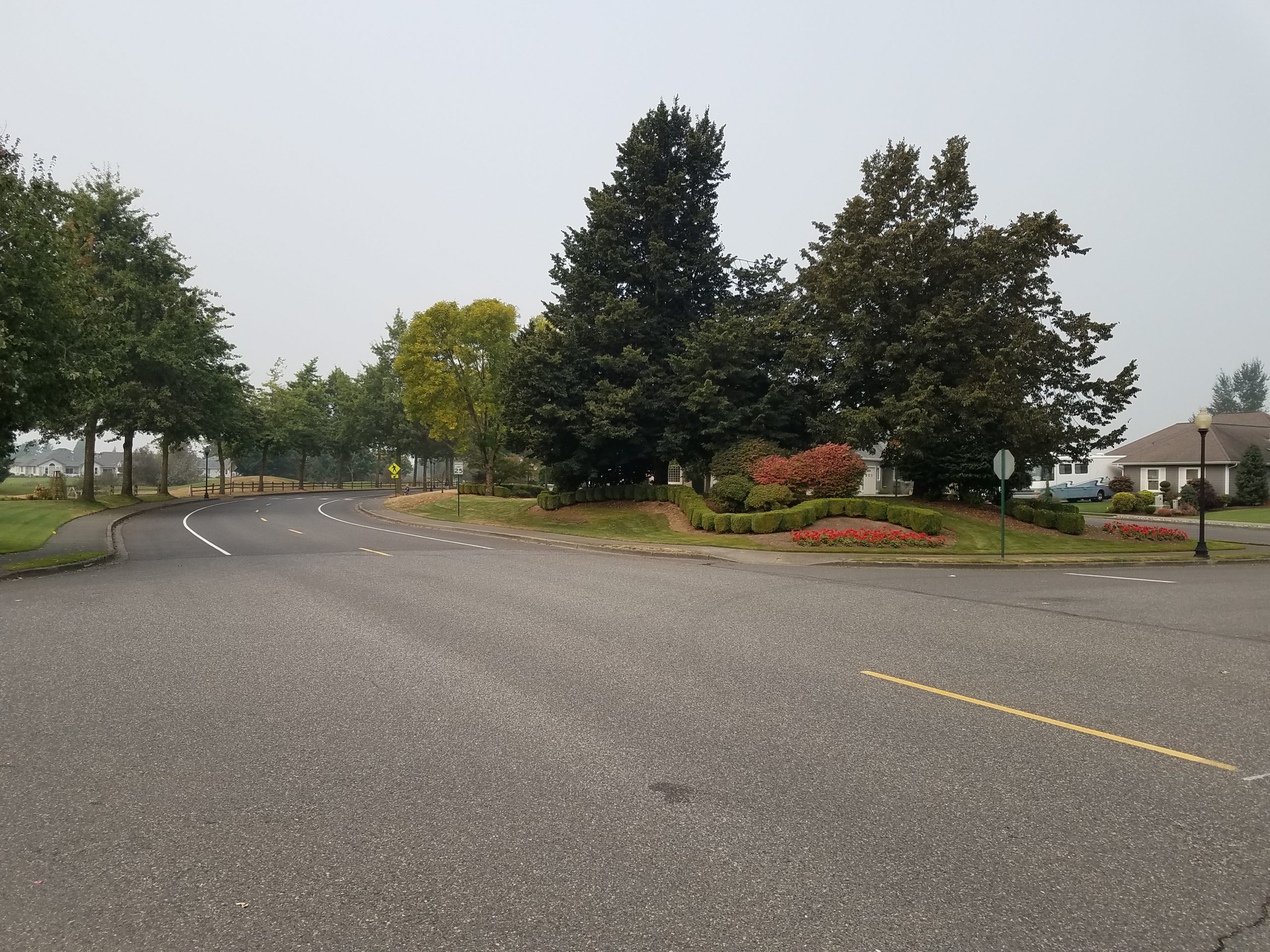
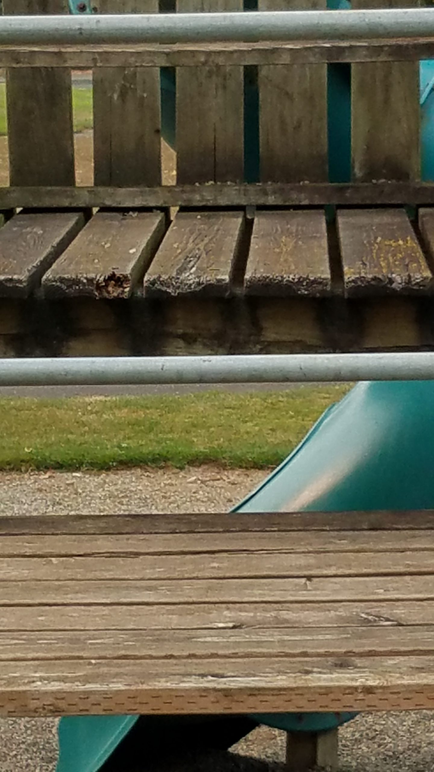
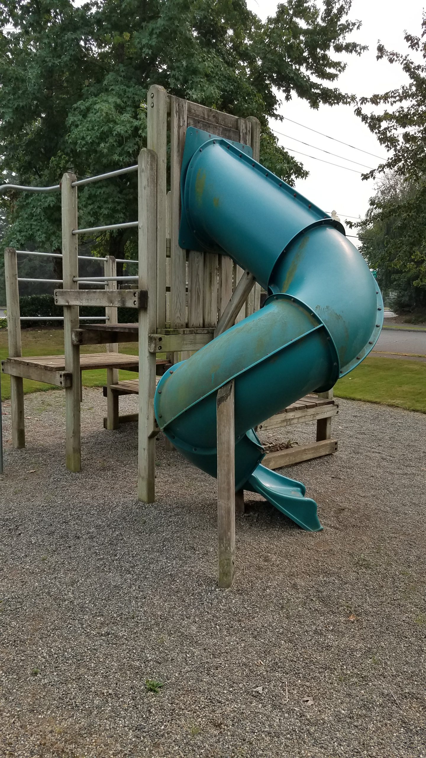
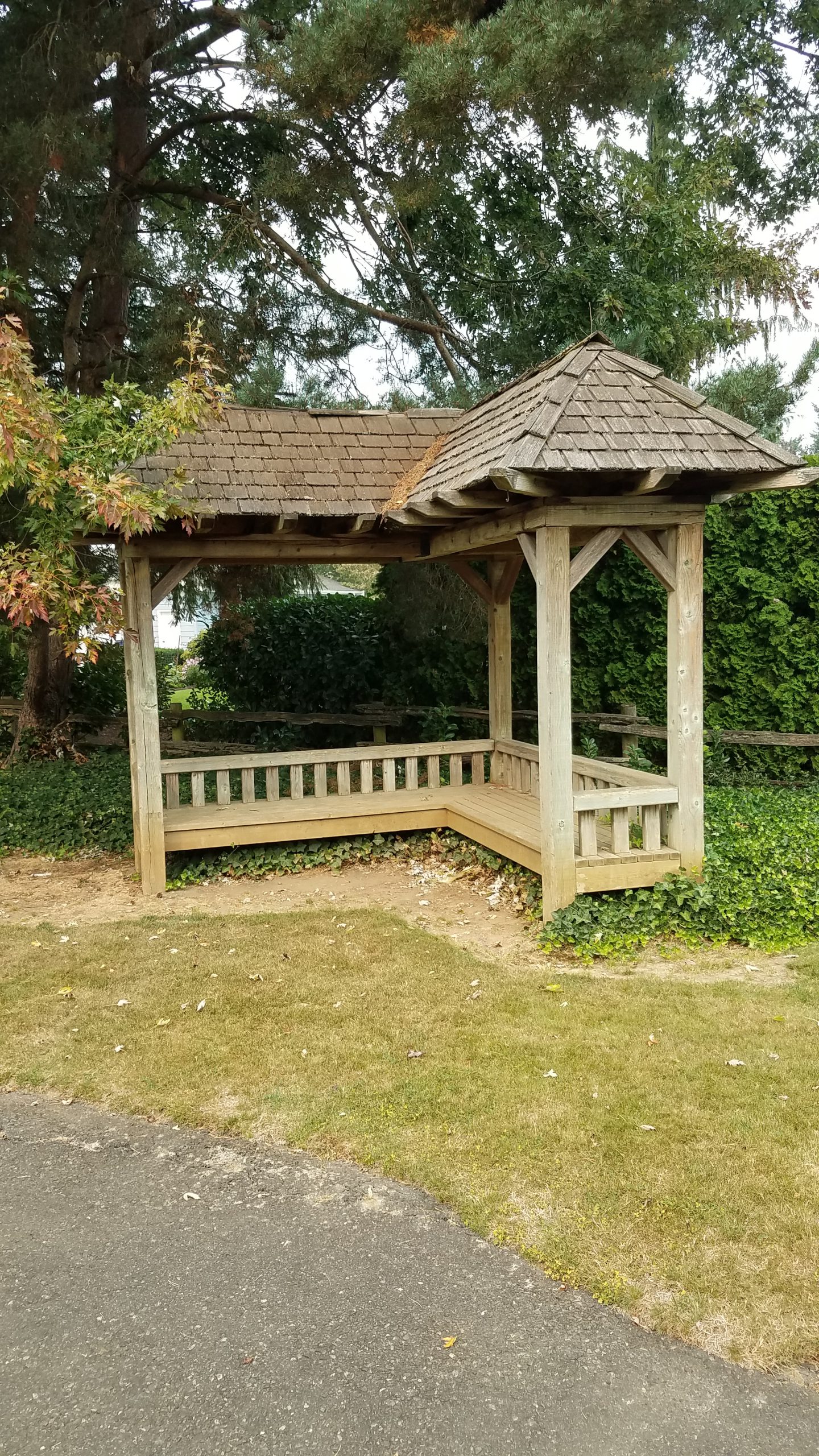
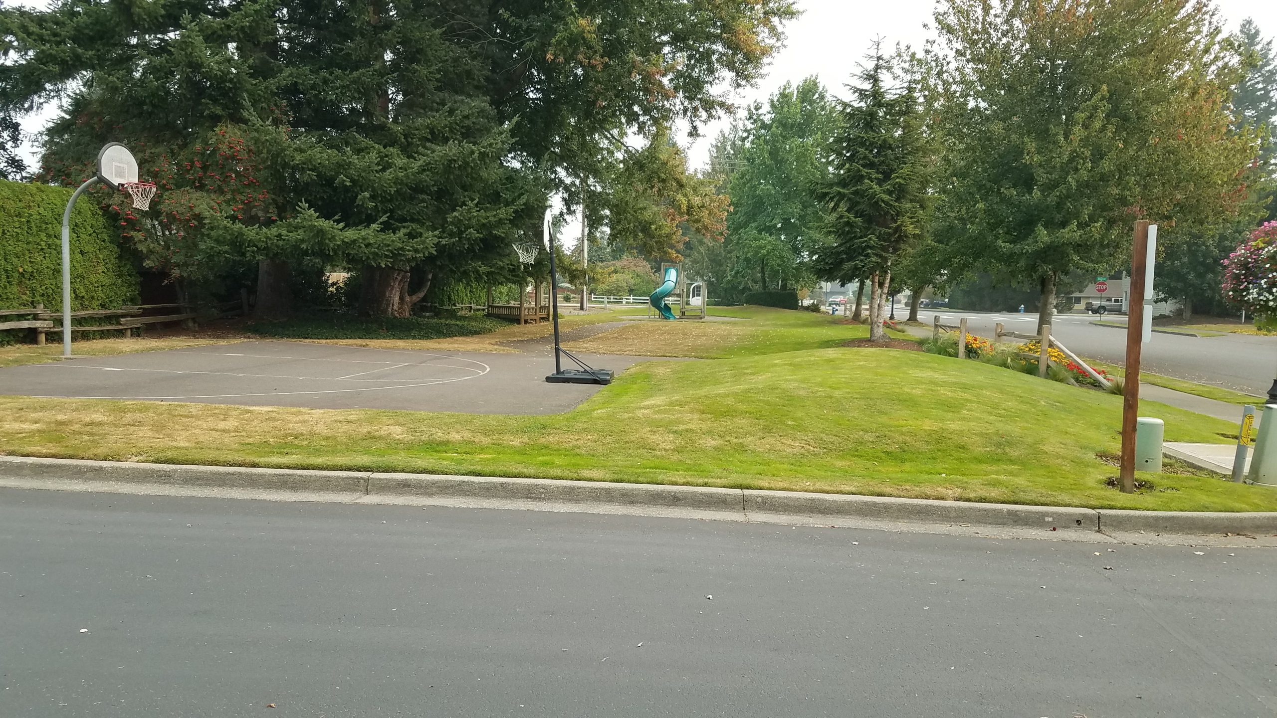
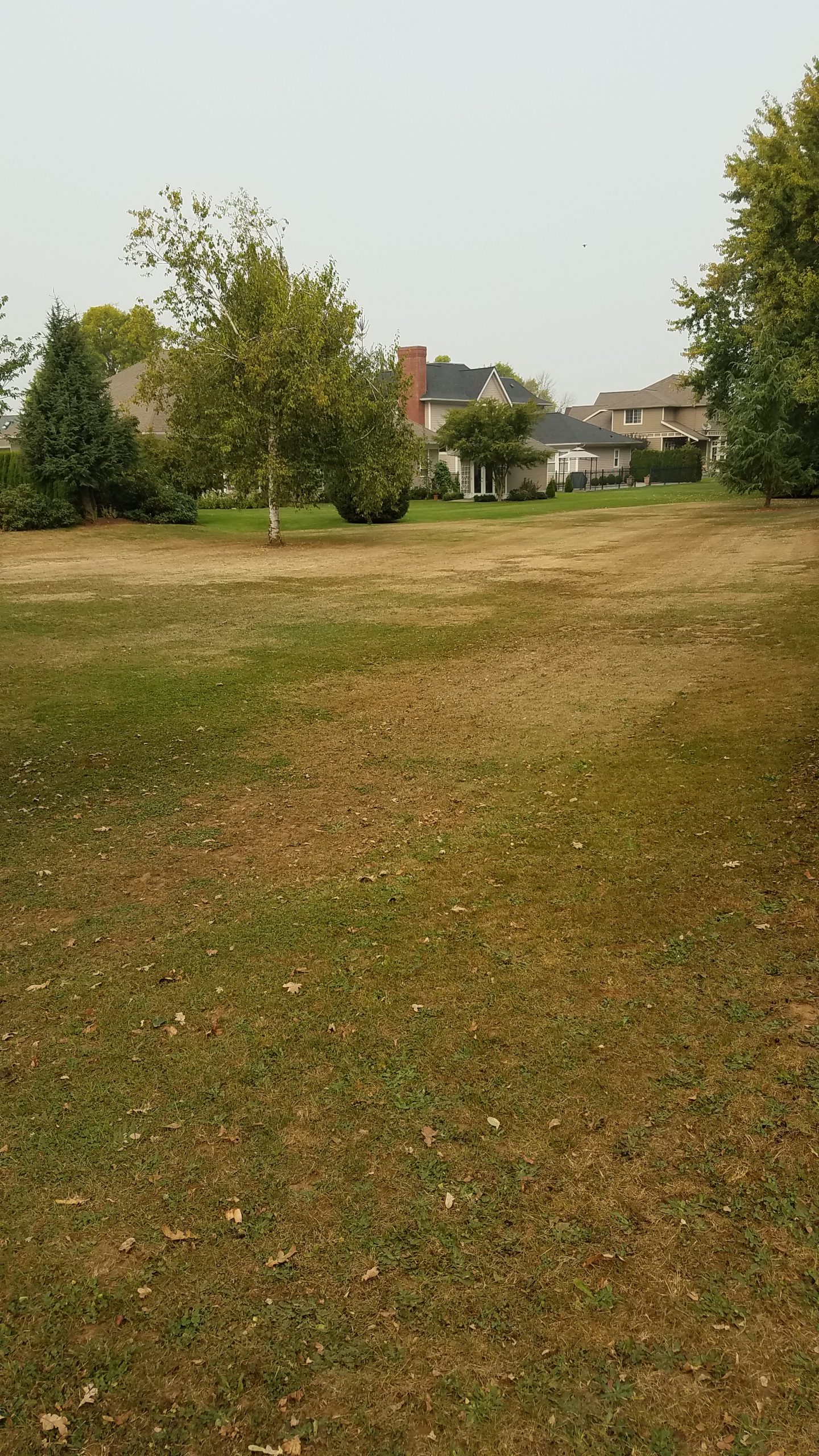
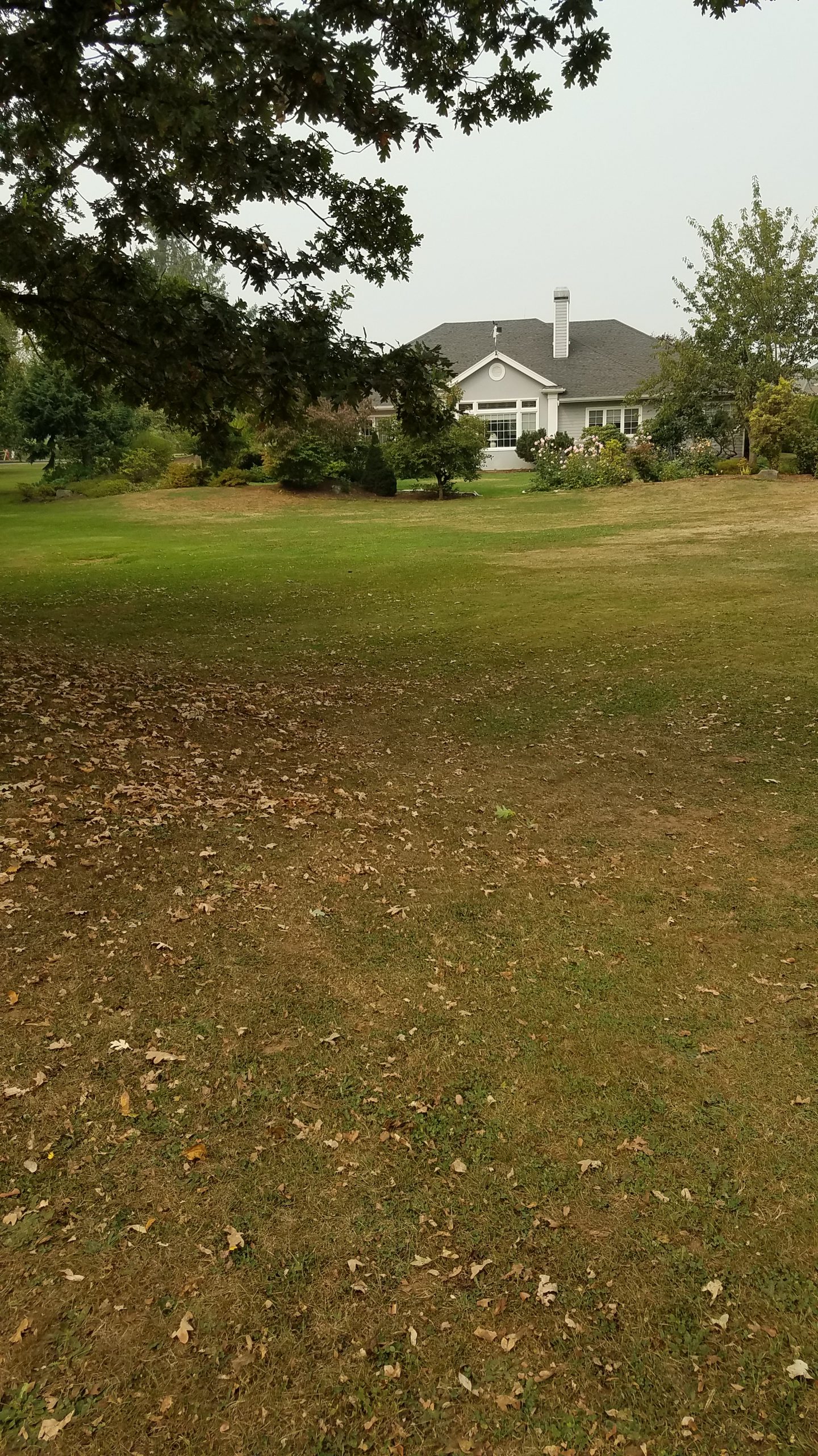
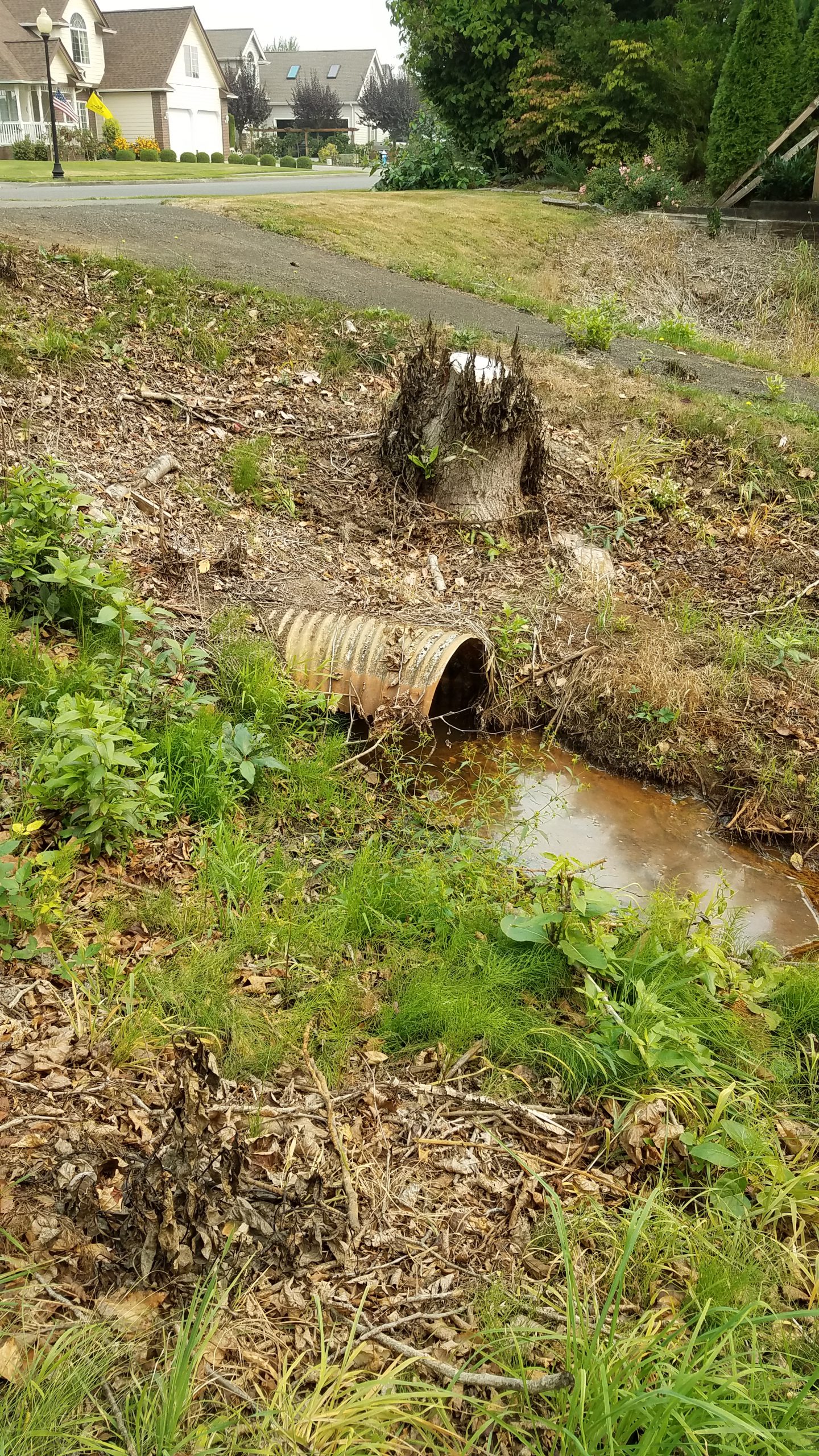
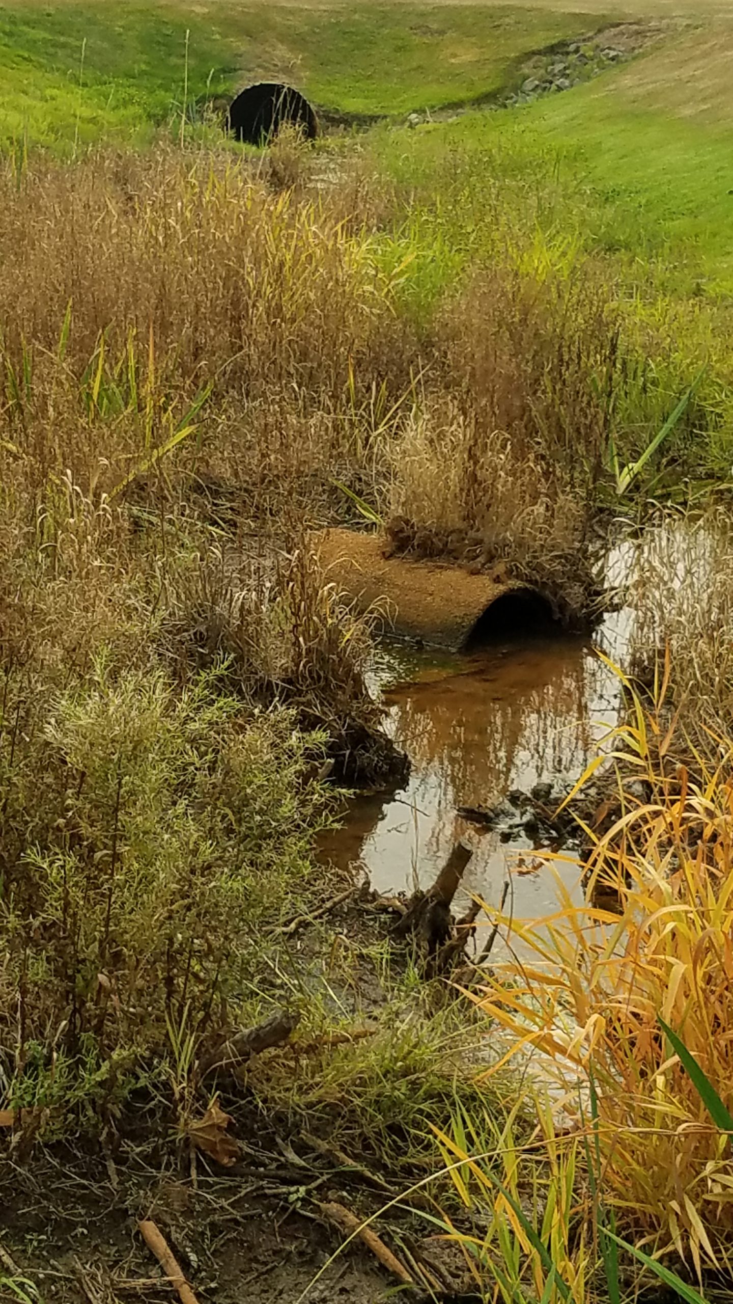
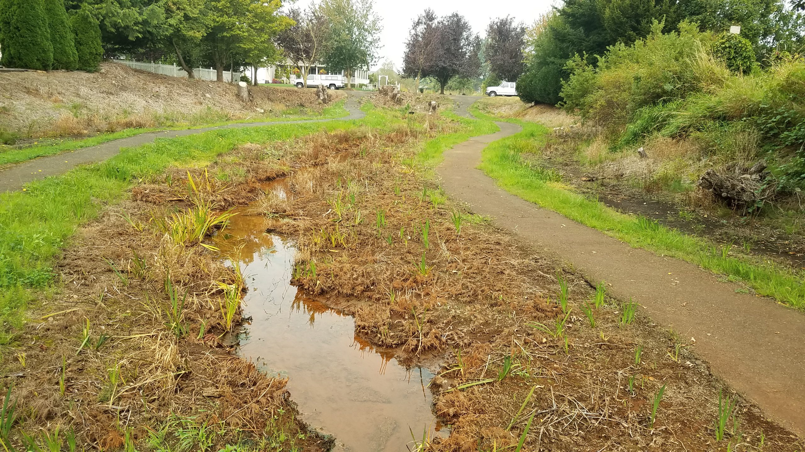
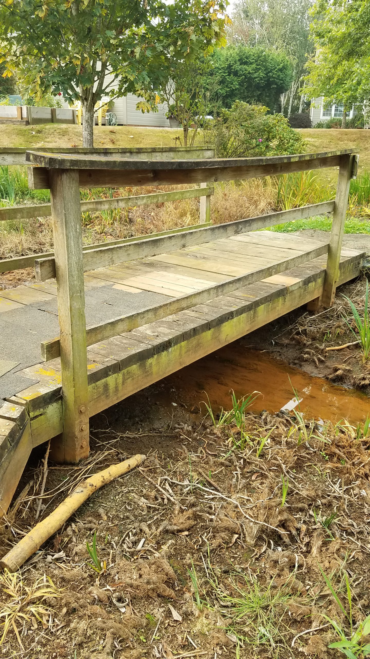
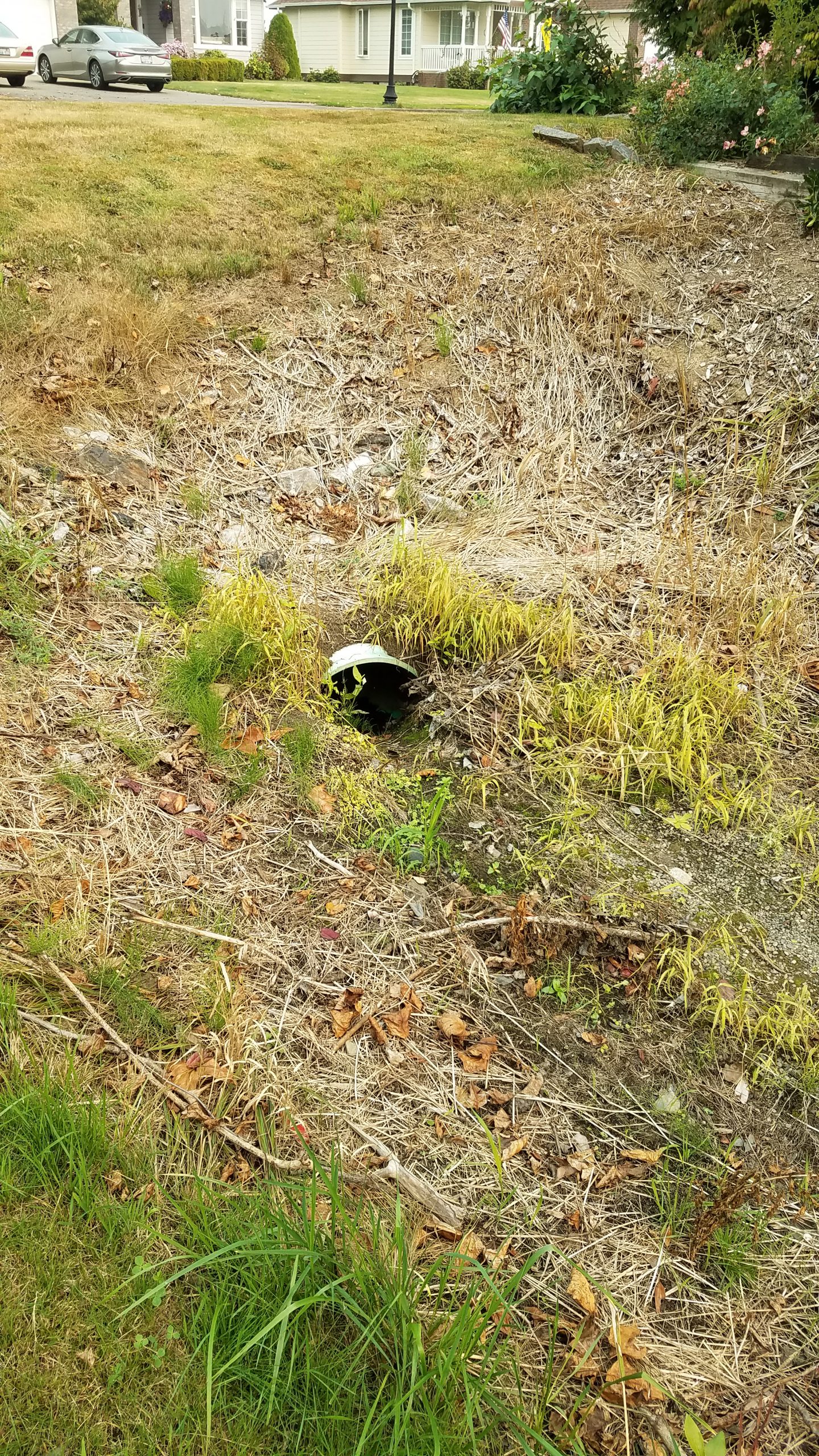
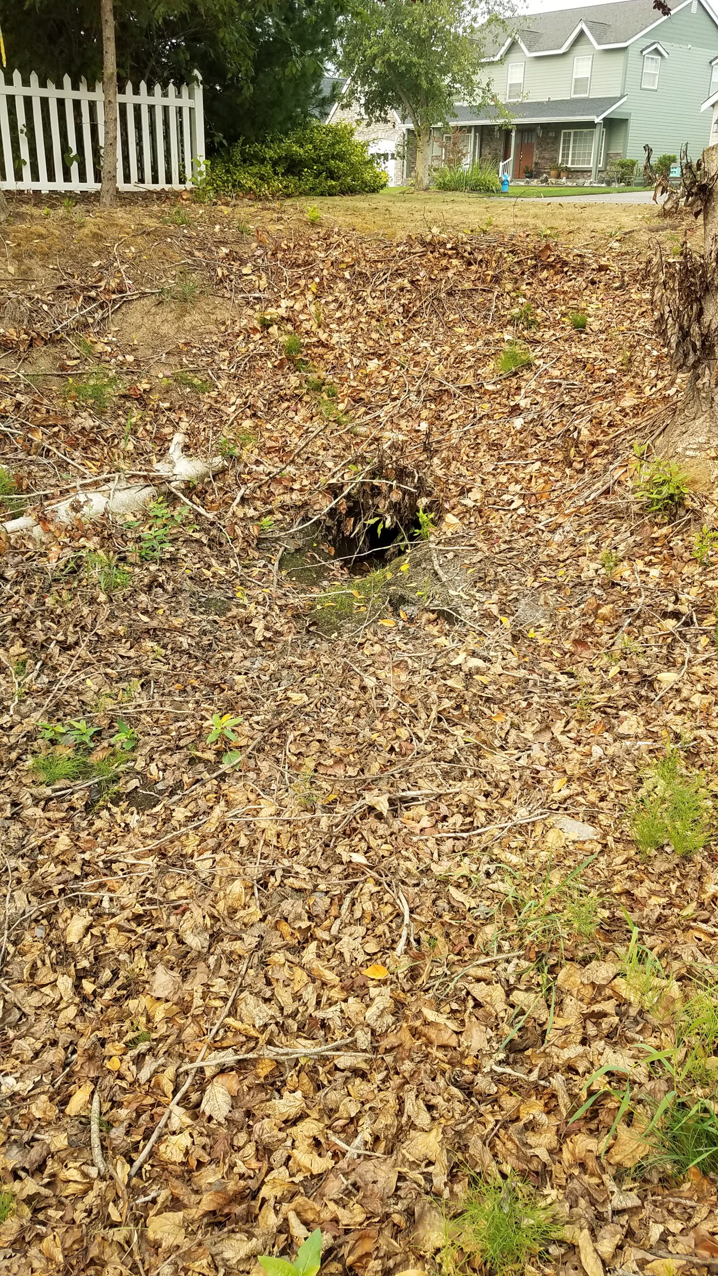
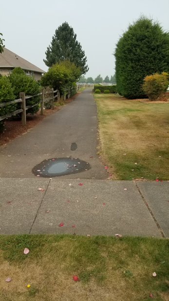
The CC&R explicitly states parcel owner dues are only for the maintenance of private streets, street lights and COS – common open spaces (refer to green on the below map).
The fee increase from $36/month in 2019 to $93/month in 2020 (times 600 parcels) exceeds $600,000 … to maintain the below mapped COS, street lights and private streets.
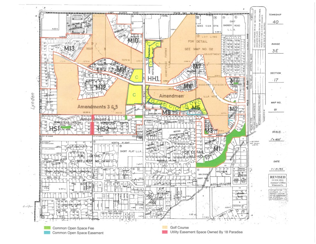
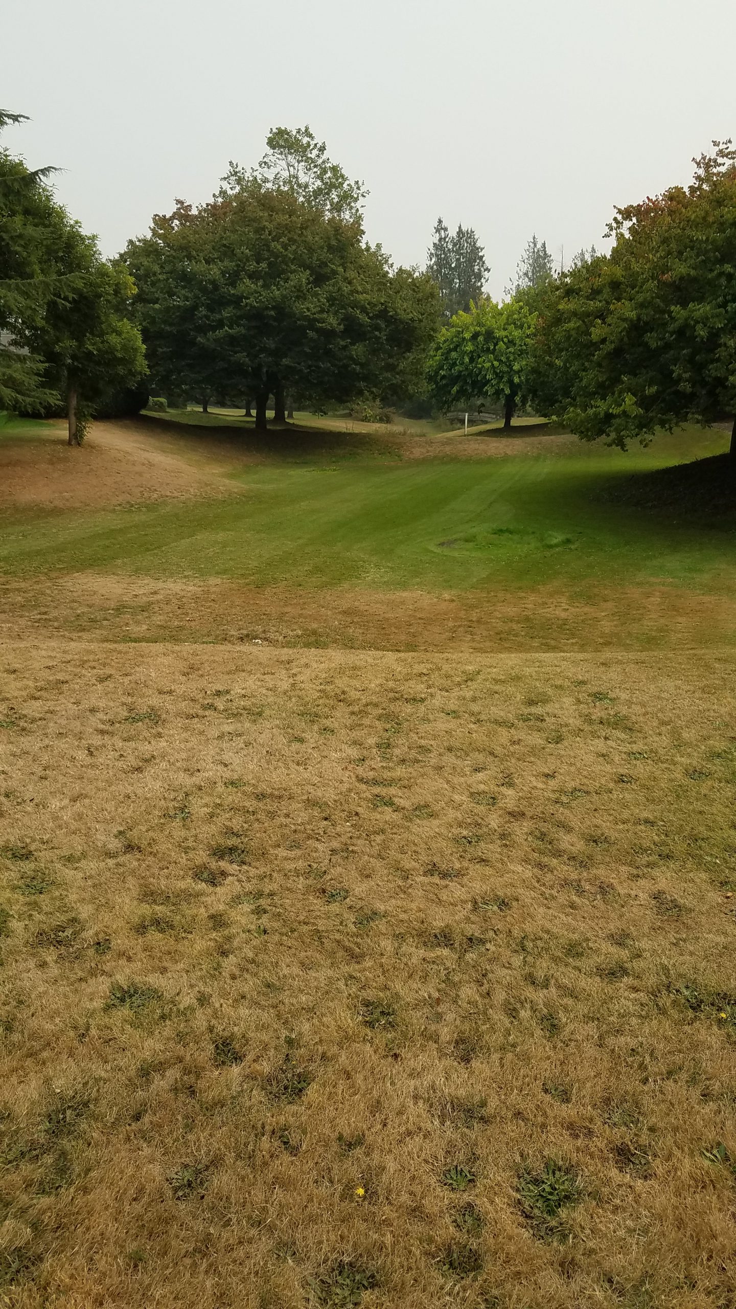
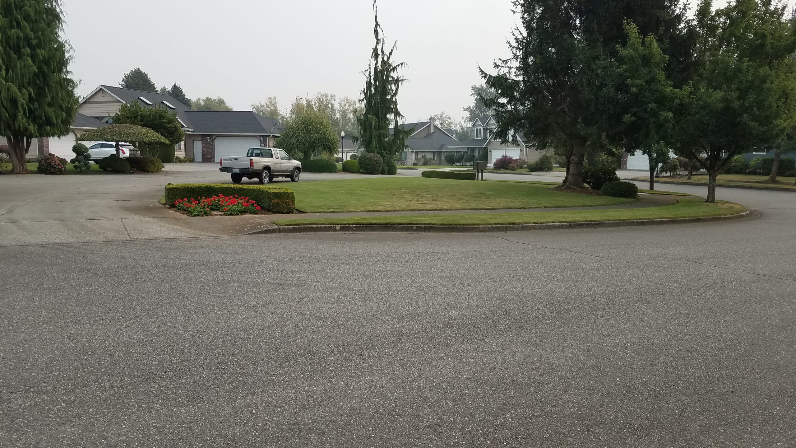
Green = Common Open Space
Yellow = Condominiums
Pink = Utility Easement Owned by 18 Paradise, LLP
Click here to see a larger view of the map.
09-17-2020

09-17-2020


09-17-2020
09-17-2020

09-17-2020


09-17-2020
03-05-2020
09-17-2020


09-17-2020
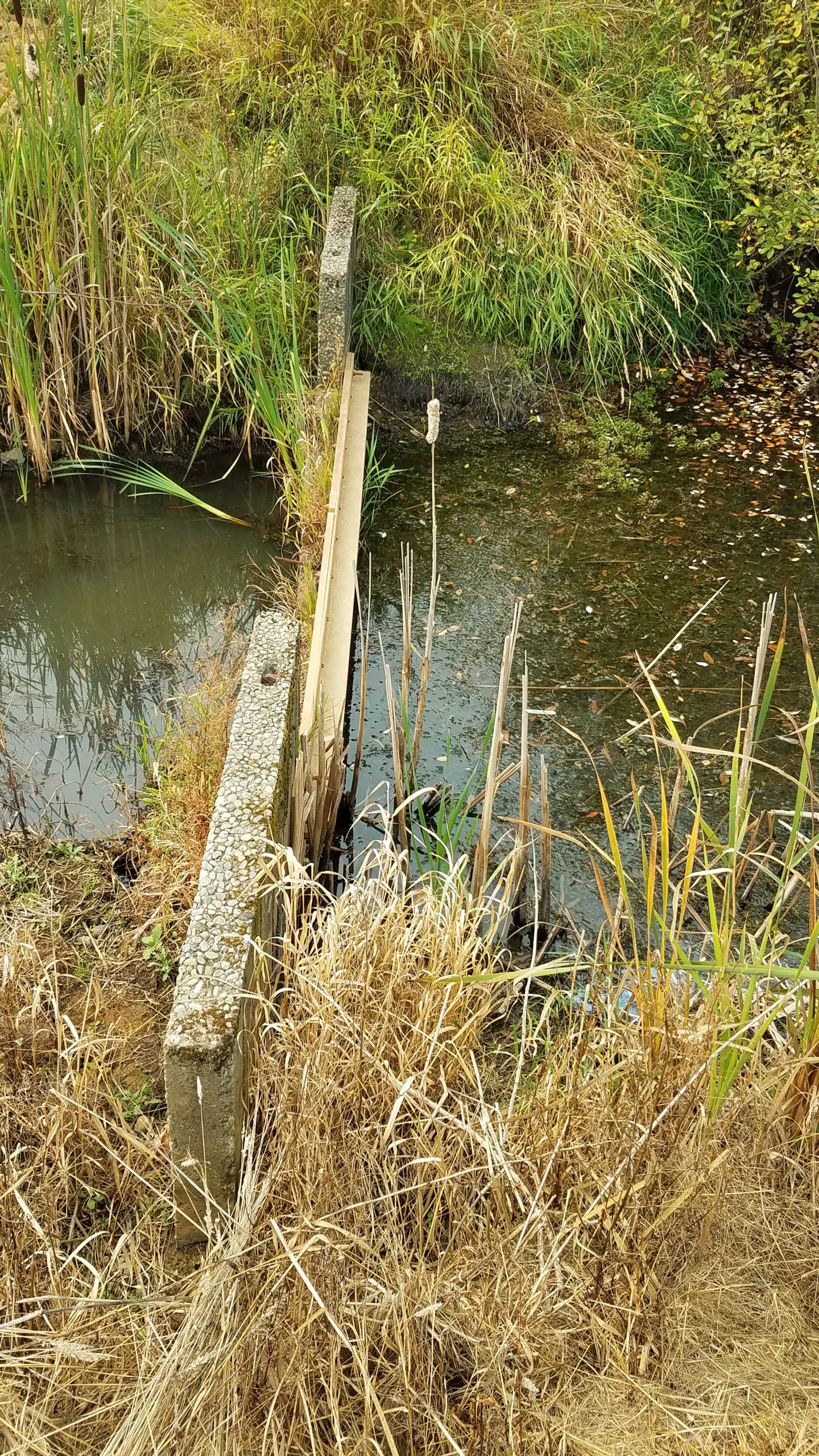
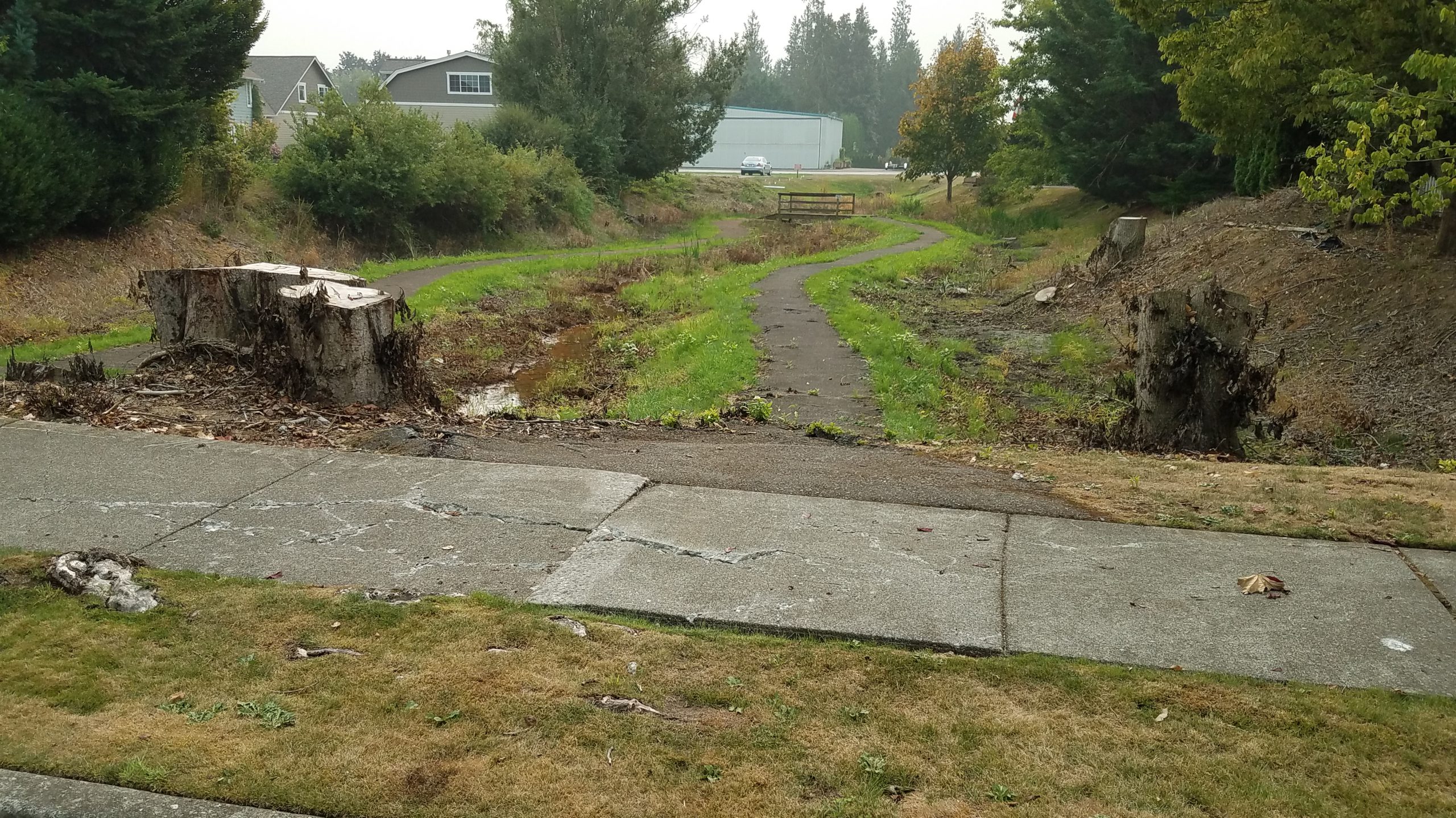
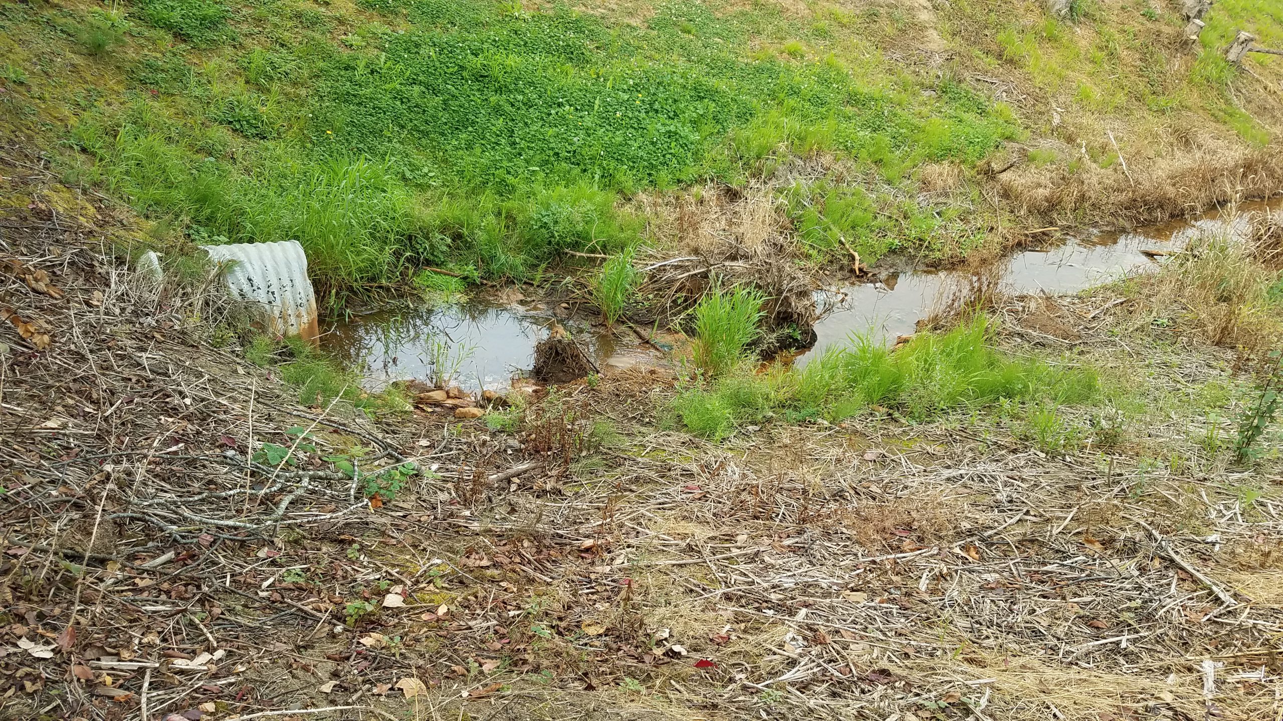
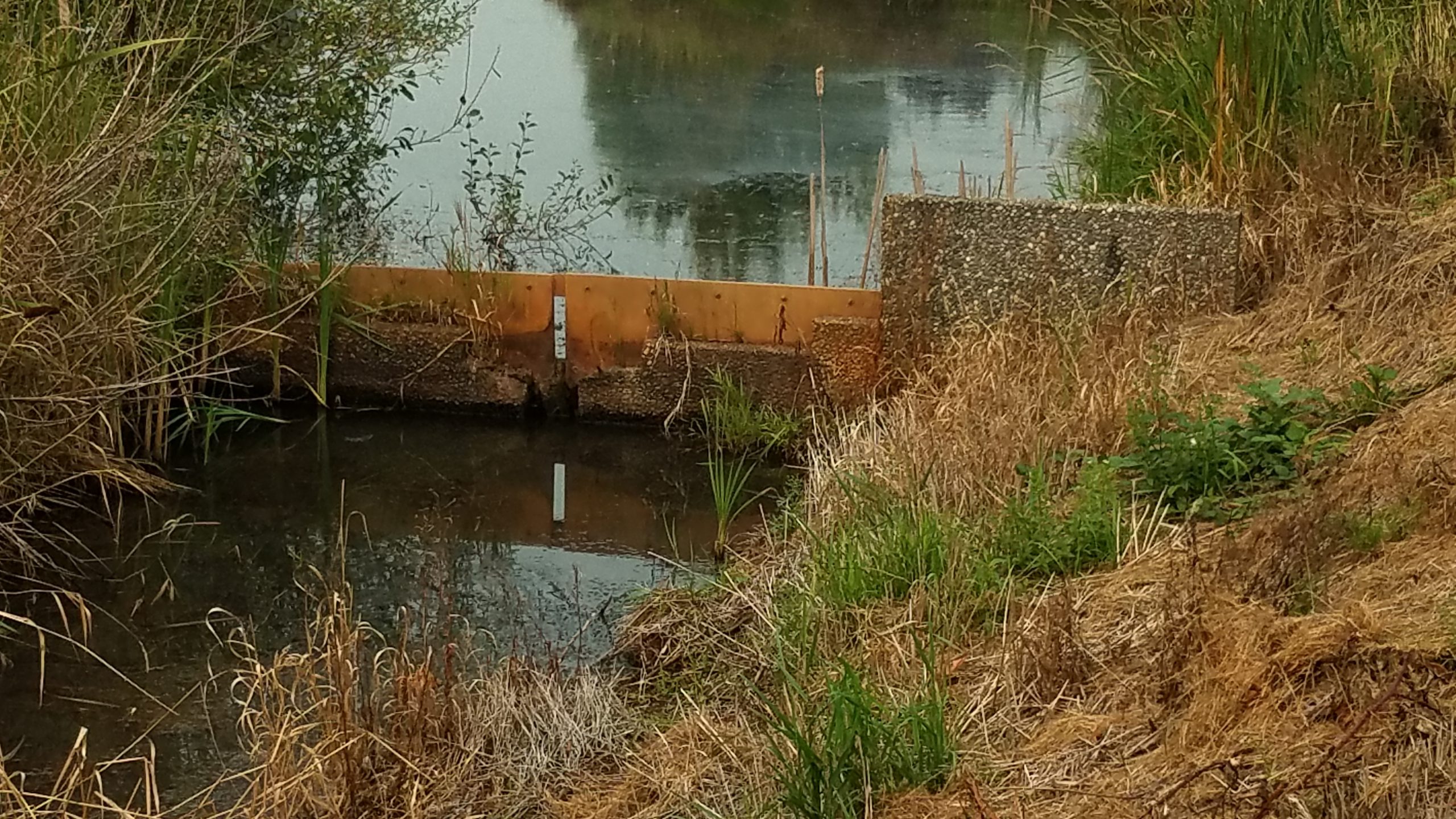
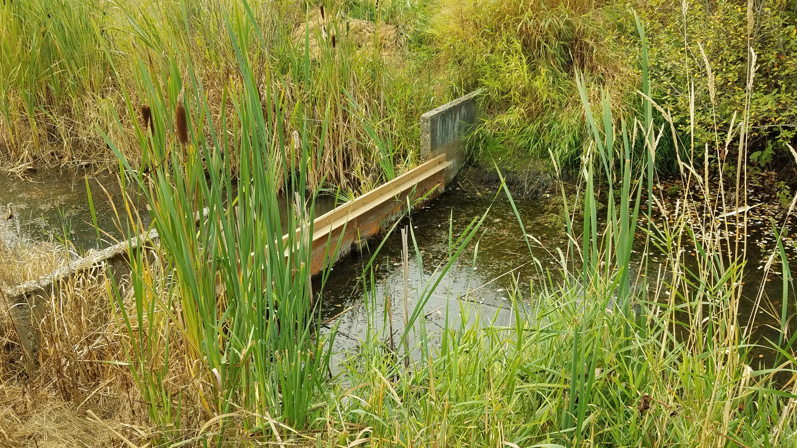
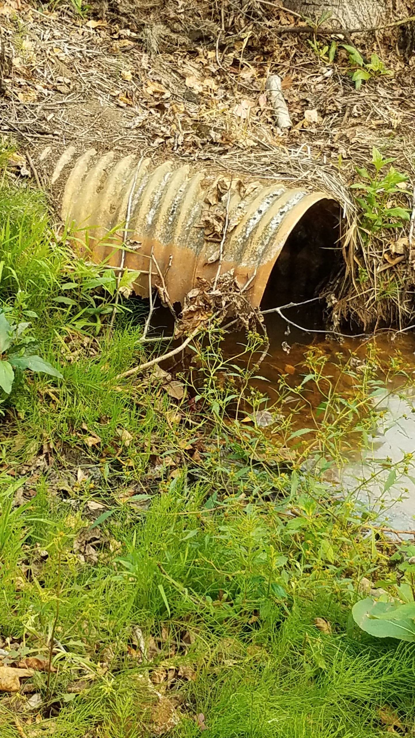
Utility Easement by Sunrise Drive. (Ref. Y-Z; Click on image to enlarge)
09/17/2020